01 / 05
ES360
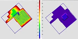
Full azimuthal migration
Applied for calculating the wave field in an anisotropic environment and calculation of porosity attributes.
ES360 · Full azimuthal migrationREAL DATA
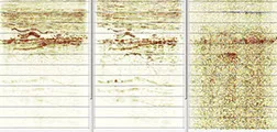
Advanced imaging algorithms developed and applied in-house, backed by the GPU cluster in Tallinn.
01 / 05
ES360
Applied for calculating the wave field in an anisotropic environment and calculation of porosity attributes.
02 / 05
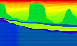
RTM
Applied in difficult geological conditions complicated by salt tectonics.
03 / 05
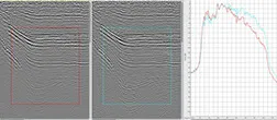
Q-PSDM
The use of Q migration allows restoration of high frequencies lost through absorption by the medium, increasing the resolution of the seismic record.
04 / 05
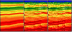
FWI
The FWI algorithm is based on modelling synthetic gathers using an initial velocity model and minimisation of the difference between real and modelled gathers.
05 / 05
5D
5D regularisation combined with pre-stack time migration for optimal trace distribution and imaging.
The hardware behind it
RTM, Q-PSDM and FWI are only practical at scale with dedicated hardware. Our GPU cluster — six Supermicro nodes carrying twelve NVIDIA V100S accelerators — sits alongside 4,864 CPU cores and a BeeGFS parallel filesystem in the Tallinn processing centre.
Full infrastructure specification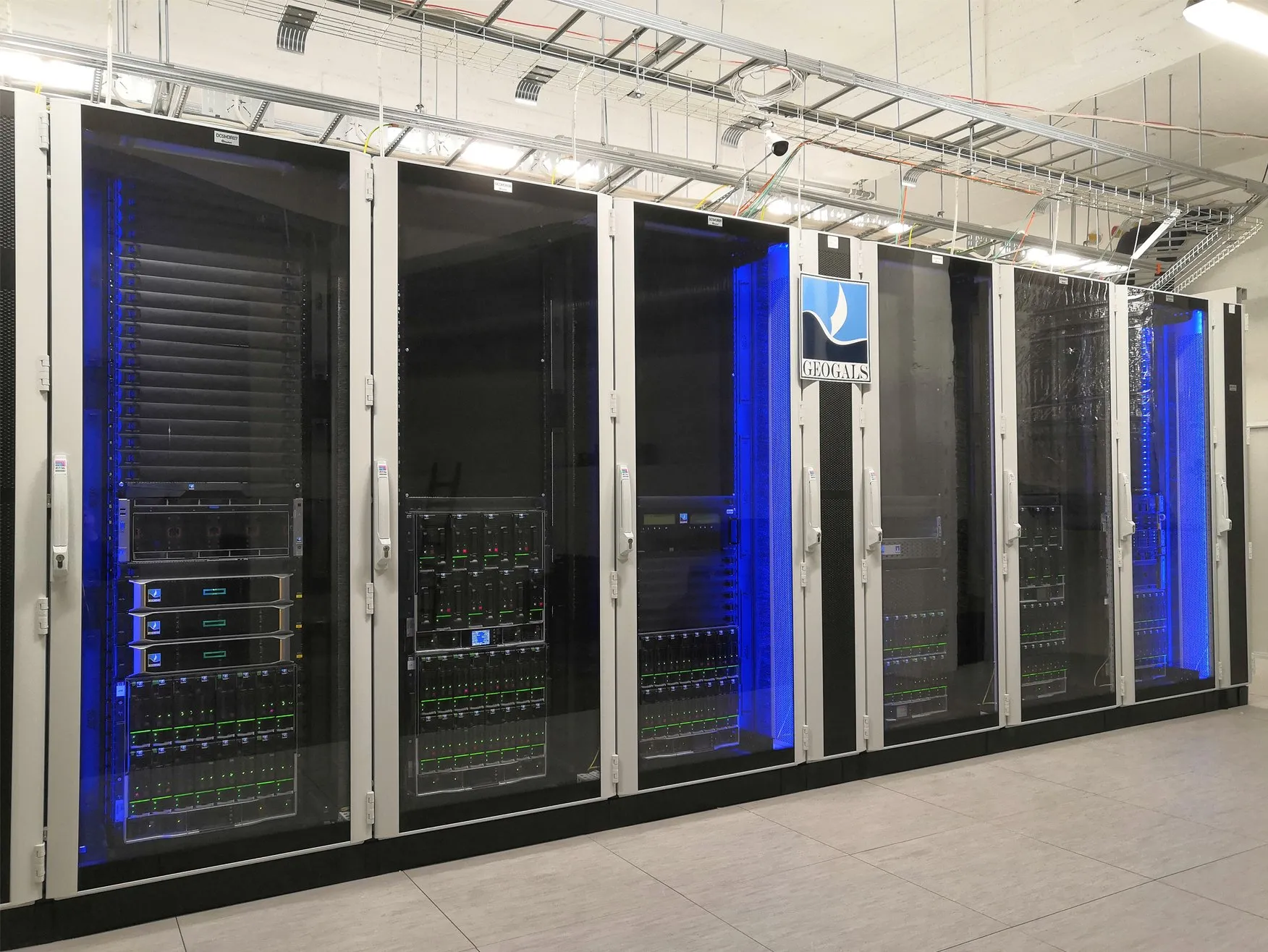 REAL PHOTO
Processing software
The main software tool for marine data processing is the REVEAL package from Shearwater. We also use software products from other developers — Paradigm, Flatirons, RadExPro — depending on client requirements and the complexity of the geological setting.
Start a project
Acquisition parameters, data volume, objectives, timeline. Our geophysicists come back with a processing sequence and a realistic view of the result — not a brochure.